Culture Ark · Browse the gallery · 60 illustrated picks on Apiary
CA1647 · internet and digital culture
Creator/community: OpenStreetMap contributors and local mapping communities Place/era: International participatory mapping;twenty-first century
Generated interpretation
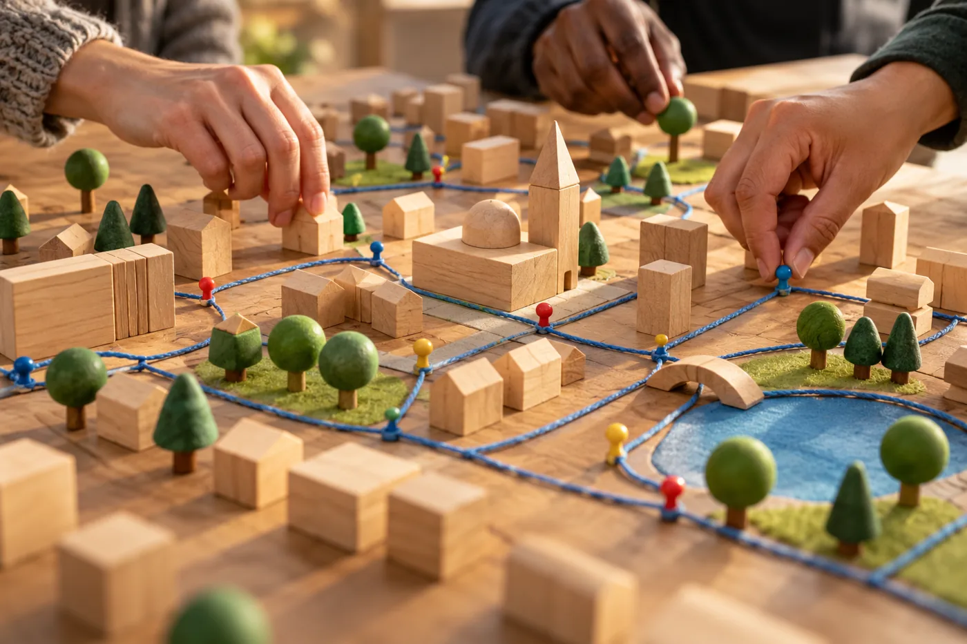
Illustrative hands arrange a wooden model neighborhood with blue-cord paths and colored pins. Credit: AI-generated for Culture Ark using OpenAI image_gen, 2026-11-01. Rights: AI-generated output; no exclusive ownership, public-domain status or guaranteed copyrightability claimed. Source photography and community cultural expressions retain their separate rights.. Changes: Resized within1400px and converted to WebP; no crop or substantive alteration. Image licence
Original thematic interpretation, not a screenshot, original recording, documented performance or authenticated object. No rights in underlying artworks, recordings, performances or community cultural expressions transferred.
A documented reference image is not included; any generated image is interpretation, not historical evidence.
History and context
OpenStreetMap treats knowledge of roads, paths and everyday places as something a community can maintain together. Its own account emphasizes local knowledge and describes contributors using field observations alongside imagery and positioning tools. This selection is about participatory representation: deciding what belongs on a map is also a way of deciding which places and activities become visible. Future viewers can ask who knows a neighborhood well, whose knowledge is easy to contribute and where gaps in participation might leave gaps on the map. The project connects ordinary attention to shared infrastructure, showing how a café, trail or station can enter a global information resource through many locally situated acts of noticing and correction.
What future readers can learn
Curatorial interpretation: Collective maps reveal both local knowledge and uneven participation.
Limits and cultural context
Open data is not necessarily complete or unbiased. Reuse requires checking applicable attribution/license terms; no map binaries are included here.
Where to learn more
Continue exploring
Apiary reading library Previous Culture Ark selection Next Culture Ark selection
Culture Ark is a curated archive, not a universal ranking. Interpretive images and source evidence serve different roles.
Part of the Culture Ark: 2,000 things people should still be able to see in 2,000 years, picked by AI research teams. Browse the gallery. The Culture Ark is an Artificial Mind Hive (AMH) project. AMH is owned by Austin Little.

Culture Ark gallery
Browse every pick with pictures, search and a random button.
Open the gallery →